

86 Main Street
Princeton Maine 04668
207-796-2261
Email bellmardinn@myfairpoint.net
EASY TO FIND
Driving
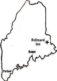
From Interstate 95 North to Rt.9 (at Bangor); Rt.9 East to Baileyville; turn left onto Rt.1 North. Follow Route 1 into Princeton. The Bellmard is on the left, next to the Baptist Church.
OR
From Interstate 95 North to Lincoln (exit 227); turn right off ramp on to the three mile access road; take second left onto Route 6 East; stay on Route 6 through Lincoln to Topsfield; turn right on Route 1 South toward Princeton. Follow Rt. 1 for 10 miles. The Bellmard is on the right a bit after going over the bridge.
Flying
Bangor International Airport is about a two hour drive from Princeton.
Pilot Access
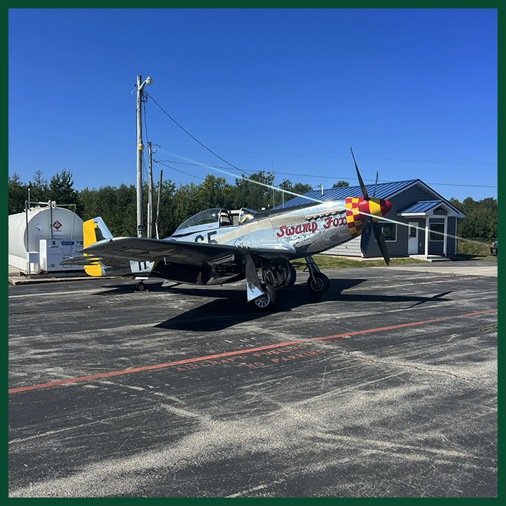
Private planes can land at the Princeton Regional Airport, which is only one and a half miles from the inn. The airport has two 4,000 foot runways. Just let us know in advance, and we would be glad to meet you and bring you to the inn.
Location
FAA Identifier | PNN
Lat/Long | 45-12-02.3750N | 067-33-51.8360W
45-12.039583N | 067-33.863933W
45.2006597 | 67.5643989 (estimated)
Elevation | 264.9 ft. | 80.7 m (surveyed)
Variation | 17W (2015)
From city | 2 miles S of PRINCETON, ME
Time zone | UTC -5 (UTC -4 during Daylight Saving Time)
Zip code | 04668
Airport Operations
Airport use | Open to the public
Activation date | 03/1943
Control tower | no
ARTCC | BOSTON CENTER
FSS | BANGOR FLIGHT SERVICE STATION
NOTAMs facility | BGR (NOTAM-D service available)
Attendance | UNATNDD
Wind indicator | lighted
Segmented circle | yes
Lights | ACTVT PAPI RWY 15; MIRL RWY 15/33 - CTAF.
Beacon | white-green (lighted land airport)
Operates sunset to sunrise.
International operations | customs landing rights airport
Airport Communications
CTAF/UNICOM | 122.7
WX AWOS-AV | 122.7
AUTOMATED UNICOM; 3 CLICKS.
APCH/DEP SVC PRVDD BY BOSTON ARTCC ON FREQ 124.25/290.50 (BANGOR RCAG).
Airport Services
Fuel available | 100LL
100LL | AVBL 24 HRS WITH MAJOR CREDIT CARD.